ARTICLE / FIGURES PROVIDED BY: DR. RU-SHAN GAO (EARTH SYSTEM RESEARCH LABORATORY / CHEMICAL SCIENCES DIVISION)
Biomass burning produces major impacts on local and regional air quality and potentially plays an interactive role in climate change. A capable small, fixed-wing unmanned aircraft system (sUAS) can serve as an ideal platform for measurements of biomass burning emissions, plume distribution, fire extent and perimeter, and supporting meteorological data, especially at night when manned aircraft typically do not operate. The NOAA UASPO-funded Nighttime Fire Observations eXperiment (NightFOX) project aims to develop and deploy a sUAS observation system utilizing two modular and easily exchangeable payloads. One payload will provide in situ measurements of CO2, CO and fine- and coarse-mode aerosol size distributions in biomass burning plumes for characterization of fire combustion efficiency and emissions. A filter sampler will collect bulk aerosol samples for off-line composition analysis. The second payload will be flown over the fire to make remote sensing measurements of fire perimeter and fire radiative power using visible and short-, mid-, and long-wavelength IR observations. The multi-spectral remote sensing data will be used to provide sub-pixel information for comparison with satellite fire observations, and along with measured meteorological parameters, will be used to inform, test, and improve the WRF-SFIRE fire-atmosphere model.
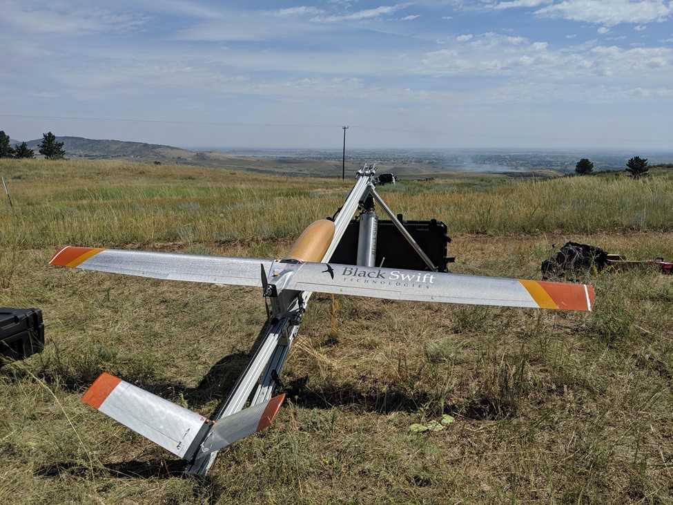
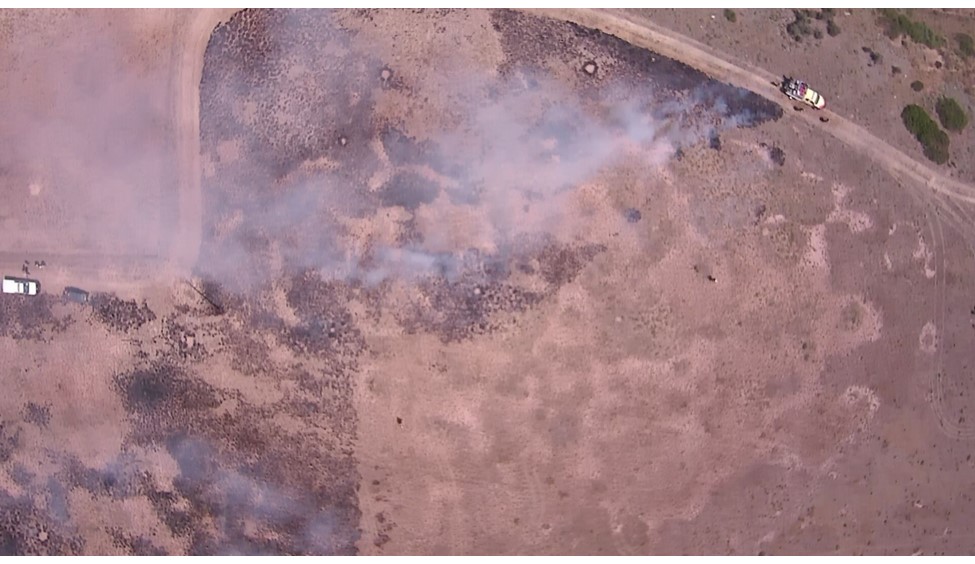
On 31 July 2019, the NightFOX remote sensing payload onboard a Black Swift Technologies S2 UAS was used to monitor a prescribed burn in Boulder County, CO. The experiment was very successful, producing a fire map and demonstrating the capability and usefulness of the system (see associated figures and video). For the next step we plan to deploy the system to make measurements over real wildfires in the western US in August and September 2019.
This project is funded by the NOAA UAS Program Office, and includes a partnership between NOAA ESRL/CSD and the University of Colorado Boulder.


