Channel Island National Marine Sanctuary (CINMS) and Collaborative Center for Unmanned Technologies (CCUT) staff supported the planning and execution of a UAS-based oil on water imaging project in the Santa Barbara Channel from October 30 – November 2, 2017. Participants in this exercise included Chevron Technology Corp, NOAA ORR, California Office of Oil Spill Prevention & Response (OSPR), American Aerospace Technologies, Inc. (AATI) and AeroVironment, inc.
The project’s objectives were to test and evaluate the use of long endurance Unmanned Aircraft Systems (UAS) in Offshore Oil Spill Patrol and Response and Shoreline Clean up support, and to evaluate AeroVironment’s new high-resulution i45 “Super Gimbal” payload for support of Natural Resource Damage Assessment (NRDA).
The project utilized an Arcturus Jump 20 UAS to fly offshore beyond visual line of site (BVLOS) in order to image the natural oil seeps in the Santa Barbara Channel. Fluorescein dye and rice hulls were also used as oil analogs. Permitting for the fluorescein dye and rice hulls was secured by NOAA ORR and conducted in conjunction with the California Coastal Commission. The Arcturus Jump 20 UAS operated under a certificate of authorization (COA) from the FAA, which was secured by AATI.
The NOAA R/V Shearwater provided offshore support to the project by disseminating dye and rice hulls and as safety vessel for the manned aircraft that was required to “chase” the Arcturus Jump 20 UAS while it flew offshore BVLOS.
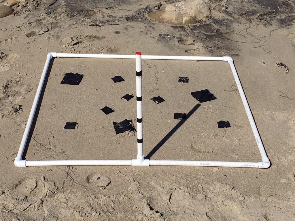
The AeroVironment Puma UAS with the i45 payload supported the NRDA image testing along the shoreline. The Puma operated under AeroVironment’s FAA Part 107 authority. The Puma work is the latest in a series of tests of this system over the pat several years to support NRDA.
The NOAA UAS Program continue to evaluate these technologies and explore quick reaction to disasters through access to airspace, and the coordination of manned and unmanned aircraft for rapid response. The use of Temporary Flight Restriction (TFR) during these events area also being explored. During Hurricane Harvey response in Texas, the FAA issued over 130 authorizations to drone operators performing search and rescue missions and assessing damage to roads, bridges and other critical infrastructure; the agency issued these authorizations within a few hours. In addition to the direct response and recovery efforts, several media outlets are operating drones over Houston to provide coverage to local residents and the world about flooding and damage in the area. All drone flights are carefully coordinated with manned aircraft operations to ensure the safety of everyone using the crowded South Texas airspace and within TFRs.