National Severe Storms Laboratory High-Wind Damage Assessment Following Severe Weather Events
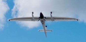
National Severe Storms Laboratory (NSSL) / Cooperative Institute for Mesoscale Meteorological Studies (CIMMS) will document high-wind damage immediately following high-wind events in the Southeast US from February 15th to April 30th, 2021. UAS platforms will be deployed to collect high-resolution imagery of storm damage affected areas:
1) To better characterize high-wind damage to vegetation and in rural areas.
2) To better link signatures from remote sensing platforms (radars and satellites) to impacts at the ground to improve understanding of severe storm-level dynamics.
To learn more about NSSL UAS operations and objectives refer to the flowing link: https://inside.nssl.noaa.gov/uas/
Disclosure: The proposed UAS operations would not involve any intentional collection of Personally Identifiable Information (PII). Any accidental or “inadvertent” PII collection would be obscured or deleted through irreversible pixel blurring, pixel blocking using overlaid shapes/symbols, and permanent cropping. For more information on Privacy refer to the following: Privacy Act of 1974 – 5 USC 552a. Additionally, NSSL/CIMMS would not intentionally fly over individuals. Although consent may not be obtained, there is minimal impact to individuals because NSSL/CIMMS would not retain any PII through the obscuration methods detailed above.

