Official websites use .gov
A .gov website belongs to an official government organization in the United States.

Secure .gov websites use HTTPS
A lock ( ) or https:// means you’ve safely connected to the .gov website. Share sensitive information only on official, secure websites.

March 2022

Steller sea lions hauled out on shore at Makushin Bay on Unalaska Island in Alaska. Credit: NOAA Fisheries.

Use of Artificial Intelligence (AI) to Monitor Steller Sea Lion Populations

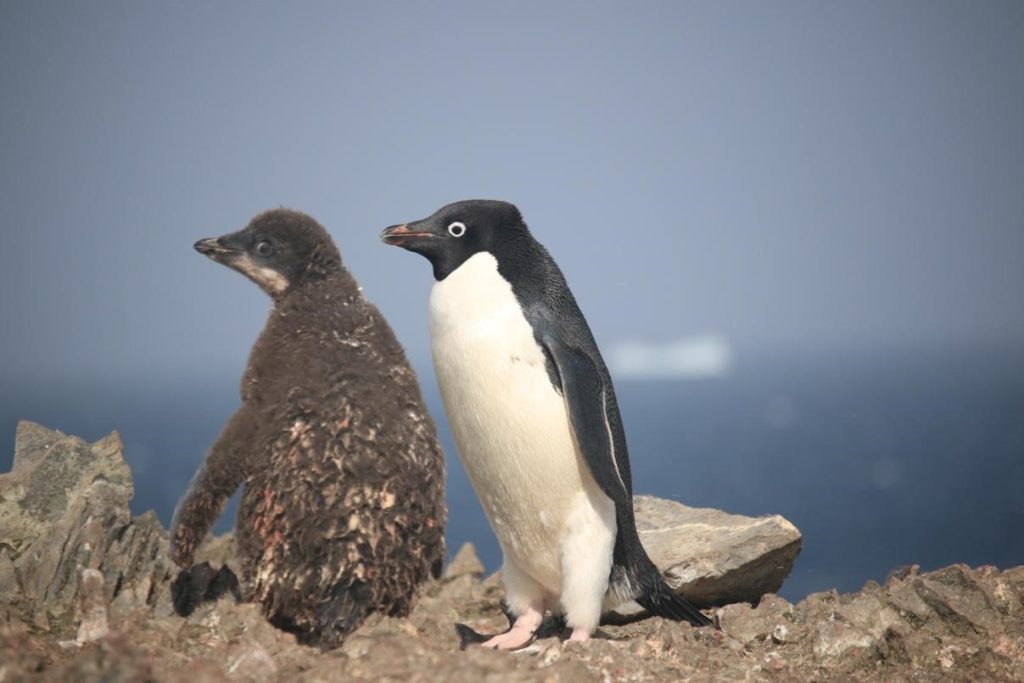
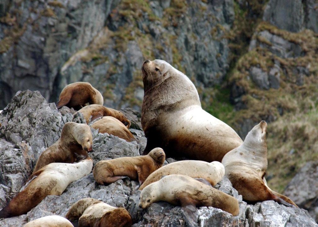
Every year, Alaska Fisheries Science Center’s Marine Mammal Laboratory of NOAA Fisheries uses crewed and uncrewed systems to conduct aerial surveys of known Steller sea lion sites across Alaska. These surveys are essential to monitoring the endangered western population of Steller sea lions in Alaska. While the population as a whole has begun to show signs of recovery, one region in the westernmost part of the population range has declined 94% in the last 40 years (showing no signs of recovery), and rookeries – sites where sea lions mate, give birth, and rest – have begun to disappear. In the Gulf of Alaska, anomalous warm water events beginning in 2014 are becoming more commonplace and are likely causing the observed declines in the area – an area which was previously showing signs of sea lion population recovery and began to increase in 2002.

Use of Artificial Intelligence (AI) to Monitor Steller Sea Lion Populations Read More »

NOAA Global Monitoring Laboratory Development of a UAS “Virtual Tower” for Gas and Ozone Measurements

Scientists from NOAA’s Global Monitoring Laboratory (GML) have undertaken novel development of an uncrewed aircraft system (UAS) “hexacopter” that will enable the lab to not only recommence a long-standing mission that was recently forced to halt, but paves the way toward enhanced operations in the future. The composition of Earth’s atmosphere is rapidly changing due to anthropogenic releases of carbon dioxide (CO2) and methane (CH4), which are powerful greenhouse gasses driving global warming. Also, human-made chemicals such as CFC-11 and CFC-12 (refrigerants) are destroying the ozone layer that filters out ultraviolet (UV) radiation. These CFCs and their counterparts destroy enough of the protective stratospheric ozone layer to produce the Antarctic “Ozone Hole”.

NOAA Global Monitoring Laboratory Development of a UAS “Virtual Tower” for Gas and Ozone Measurements Read More »

First Beyond Visual Line of Sight (BVLOS) UAS Mission to Map and Count Penguins in Antarctica

A key mission of the Antarctic Ecosystem Research Division (AERD) at NOAA Fisheries’ Southwest Fisheries Science Center (SWFSC) is to develop an understanding of how an international krill fishery operating in Antarctic waters may impact other Antarctic wildlife that consume the main target of this fishery: Antarctic krill (Euphausia superba). Three species of brush-tailed penguins (Pygocelis spp.) nesting in the South Shetland Islands off the Antarctic Peninsula primarily or exclusively consume Antarctic krill. Over the last three decades AERD scientists have monitored the number of penguin chicks raised each year by Adelie (Pygocelis adeliae), Gentoo (Pygocelis papua), and Chinstrap (Pygocelis antarcticus) penguin as one important indicator of how these populations are responding to natural variability and to the impacts of the krill fishery.


During this project Dr. Trevor Joyce, a contractor affiliated with the SWFSC’s Marine Mammal and Turtle Division, and Dr. Jefferson Hinke from AERD flew a series of Uncrewed Aerial Systems (UAS) missions at AERD’s Copacabana Field Camp on King George Island, Antarctica (62.178°S, 58.446°W) using the FireFly6 Pro fixed-wing vertical take-off and landing (VTOL) UAS. The purpose of these flights was to collect very high-resolution aerial images (0.7-1.2 cm ground sampling resolution) of the penguin colonies in order to count the number of penguin chicks produced in the current breeding season.

First Beyond Visual Line of Sight (BVLOS) UAS Mission to Map and Count Penguins in Antarctica Read More »