AUVSI XPONENTIAL 2018 is the largest, most comprehensive trade show for unmanned systems and robotics. This year's show was held in Denver from April 30th to May 3rd, and was attended by 8,500 thought leaders from across the spectrum of unmanned systems and robotics to share ideas, gain insight and witness groundbreaking innovation. This year's program included several themes including “Unmanned for Good” which covered unmanned systems used in the wake of multiple hurricanes, wildfires and other natural disasters last year. Unmanned systems across all domains became widely recognized as the future of disaster relief. From search and rescue to humanitarian missions, unmanned technologies were utilized around the world providing aid to those who needed it most.
The Unmanned Aerial System (UAS) Weather Forum was held on April 30th and provided a platform for UAS operators; federal and state agencies; weather researchers and providers; trade groups; safety and insurance groups; UAS manufacturers; and others to:
– Share experiences with expected and unexpected weather impacts
– Engage in a dialogue about weather needs for UAS operations
– Collect requirements for developing better weather guidance
– Cultivate strategies on how to make progress with needed weather support
– Assist regulators with safe integration of UAS into the national airspace system considering weather impacts
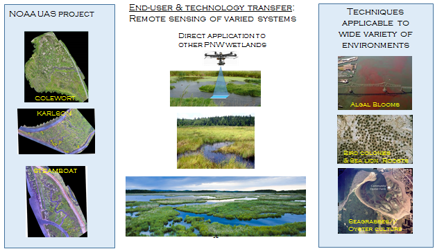
– Explore opportunities for using UAS-sensed environmental information for enhanced situational awareness and better weather prediction
– Facilitate weather education & outreach
Chris Hernandez, Sector Vice President, Research, Technology & Engineering, Northrop Grumman gave the final keynote on, and presented the long term view of unmanned technology, reviewing the development of unmanned systems in the military context for 8 decades. Hernandez pointed out that through cooperation with the military and other technology providers, unmanned technology has advanced – and close cooperation between government and industry is what will be required to continue development. He also discussed NOAA and NASA's use of the Global Hawk for hazardous weather research.
John “JC” Coffey chaired three technical sessions included Beyond-Visual-Line-of-Sight (BVLOS) briefs, and Phil Kenul presented on ASTM's F38 organization and structure, current status of the standards developed in support of all Civil Aviation Authority’s (CAA) efforts to integrate UAS into their nation’s airspace (attached) with several members of the NOAA team in attendance.
Additional information on the conference can be found at: https://www.xponential.org/xponential2018/public/Enter.aspx