First Beyond Visual Line of Sight (BVLOS) UAS Mission to Map and Count Penguins in Antarctica
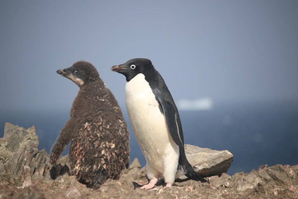
A key mission of the Antarctic Ecosystem Research Division (AERD) at NOAA Fisheries’ Southwest Fisheries Science Center (SWFSC) is to develop an understanding of how an international krill fishery operating in Antarctic waters may impact other Antarctic wildlife that consume the main target of this fishery: Antarctic krill (Euphausia superba). Three species of brush-tailed penguins (Pygocelis spp.) nesting in the South Shetland Islands off the Antarctic Peninsula primarily or exclusively consume Antarctic krill. Over the last three decades AERD scientists have monitored the number of penguin chicks raised each year by Adelie (Pygocelis adeliae), Gentoo (Pygocelis papua), and Chinstrap (Pygocelis antarcticus) penguin as one important indicator of how these populations are responding to natural variability and to the impacts of the krill fishery.
During this project Dr. Trevor Joyce, a contractor affiliated with the SWFSC’s Marine Mammal and Turtle Division, and Dr. Jefferson Hinke from AERD flew a series of Uncrewed Aerial Systems (UAS) missions at AERD’s Copacabana Field Camp on King George Island, Antarctica (62.178°S, 58.446°W) using the FireFly6 Pro fixed-wing vertical take-off and landing (VTOL) UAS. The purpose of these flights was to collect very high-resolution aerial images (0.7-1.2 cm ground sampling resolution) of the penguin colonies in order to count the number of penguin chicks produced in the current breeding season.

