UAS Missions Supporting Flood Forecasting Following Hurricane Delta Landfall
The NOAA OAR UAS Program, in cooperation with the National Weather Service River Forecast Centers (NWS RFCs) in the Southern Region and the Northern Gulf Institute (NGI; a NOAA Cooperative Institute), established a study several years ago to determine the cost and contributions of UAS-collected data toward improving forecasts and warnings of significant flood events. While the impacts of severe flooding are not isolated to this area alone, according to NOAA NCEI’s 2020 report, U.S. Billion-Dollar Weather and Climate Disasters, “The highest frequency of inland flood (i.e., non-tropical) events often occur in states adjacent to large rivers or the Gulf of Mexico, which is a warm source of moisture to fuel rainstorms”. The need for accurate, rapidly obtainable data in this region is all the more emphasized when this fact is combined with other known impacts from land-falling tropical cyclones each hurricane season.
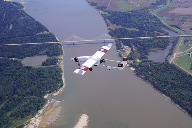
In October 2020, NGI added to the list of previous successful UAS deployments in support of this study, as the group was once again called into action by the regional NWS RFC to collect aerial flood image data after Hurricane Delta made landfall in Louisiana and passed through Mississippi.
UAS Missions Supporting Flood Forecasting Following Hurricane Delta Landfall Read More »

